MAPS
Two-sided.
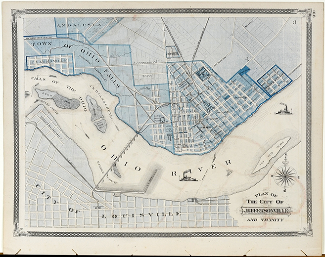
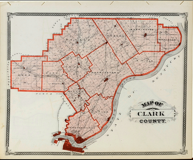
Plan of the City of Jeffersonville and vicinity/Map of Clark County.
13 1/2 x 16 1/2 inches
1878
Baskin, Forster & Co., Chicago
$45
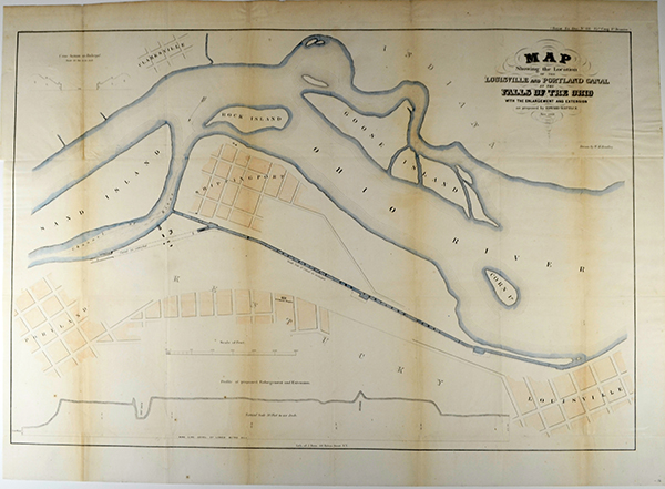
Map showing the location of the Louisville and Portland Canal at the Falls of the Ohio with the enlargement and extension as proposed by Edward Watts, C.E.
Bien lithograph
25 x 35 inches
Nov. 1856
$250
Unknown publication
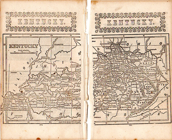
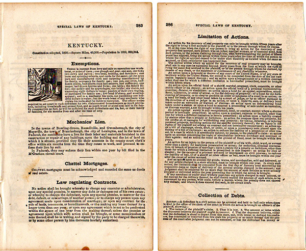
Special laws of Kentucky
7 1/4 x 4 1/4 inches
1850
$45
.jpg)
Laid paper, folded as published. "The State of Kentucky with Adjoining Territories" Map, by John Payne, engraved by John Scoles, published by John Low, New York, 1800. From "A New and Complete System of Universal Geography" by John Payne. Copper plate engraving.
The State of Kentucky with Adjoining Territories
8 1/4 x 10 1/4 inches (sheet)
7 1/2 x 8 1/2 (image)
1800
$875
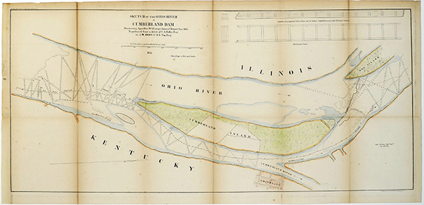
Sketch of the Ohio River at Cumberland Dam, Illustrating Appx.Doc.No.5 Longs Annual Report Sept. 1855. Transferred from a sketch of C.A. Fuller Esq., by J.W. Abert, L, U.S. Top Engineer
15 x 30 inches
Sept. 1855
$25
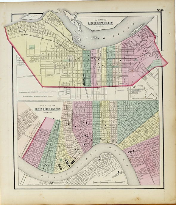
City of Louisville / City of New Orleans
15 x 12 3/4 inches
1856
$45